")
")
")
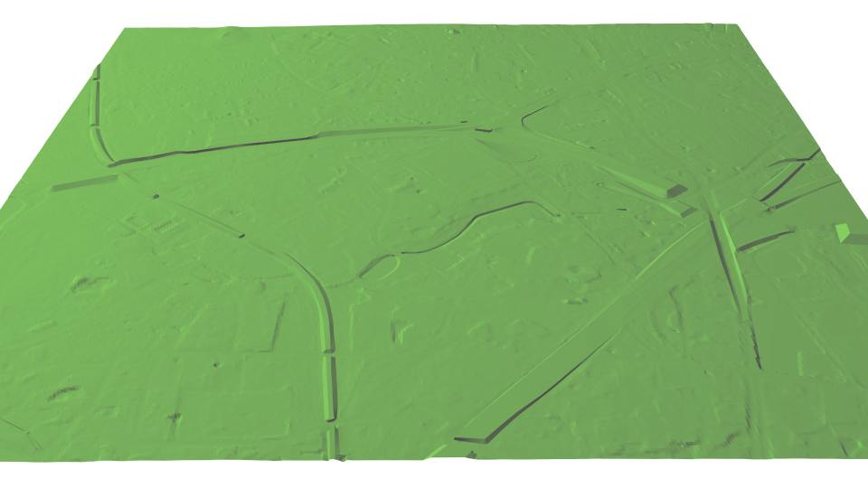
Terrain Model
|
In the course of urban modeling, often the need for an appropriate terrain model arises. Often only rough terrain models are available from the National Mapping Agencies. In order to turn the invenstment in building modeling into appealing 3D vizualisations, such rough terrain models have to be improved. Important for the 3D view are, above all, cleanly modeled break edges of embankments, retaining walls, bridge heads etc. We can offer the corresponding improvement of urban terrain models from existing 2D or 3D data. For high quality requirements, we can also perform a photogrammetric restitution of the relevant break edges and thus derive a terrain model that is ideally suited for 3D applications. In a further development stage, bridges can also be recorded and combined with this terrain model. |
||
|
|
||
| top of page |