")
")
")
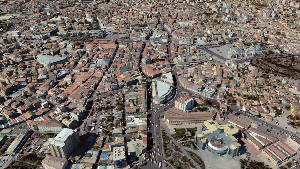
Konya
|
As the first city in Turkey, Konya is using the method of manual photogrammetry to create a city model. Starting from the city core, the city model is successively restituted in LoD3 and modeled using CityGRID®. Konya is also a pioneer in the area-wide texturing of the city model from aerial images. Roofs were textured with vertical and facades with oblique images using CityGRID®. In addition, important shopping streets are supplemented with manually placed textures from hand-held photographs. From the outset, Konya relied on CityGML data structure for data management. The integration with official surveying was also carried out in order to be able to use the city model for various applications. The city model is online accessible to the public.
|
||
|
|
||
| top of page |