Select your language

Data Collection


Our team has practical experience with all current methods of 3D data acquisition. Based on this, we can advise our customers which data collection methods are the most suitable and cost-effective for certain tasks. We can add existing 3D data, e.g. aerial photography or laser scanning, and assess their suitability for the creation or refinement of the 3D city model. In addition, we can develop performance profiles for the new 3D data, for example photogrammetry, laser scanning or mobile mapping, from the desired 3D modeling.
In addition, we advise our customers about the best procedures for generating building and terrain models depending upon their needs. Our expertise ranges from automatic procedures for creating simple models to interactive procedures for accurate and detailed building modeling.


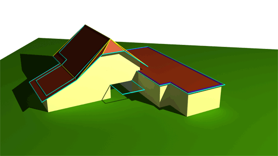
3D building model with passage and terrain model

 
  top of page 
 
  • News and Events


    CityGRID® 2025 Release

    CityGRID® Version 2025, Build 19.10.098 (Hotfix), has been published!


    Download

    Change list

     
  • New Video

    From drone flight to finished building model - possible with CityGRID!


    Watch Video

    LinkedIn

     
  • 3D Forum Lindau 2025

    Visit our workshop "3D building modeling from drone images" at the 3D Forum Lindau 2025:


    3D Forum Lindau