| |
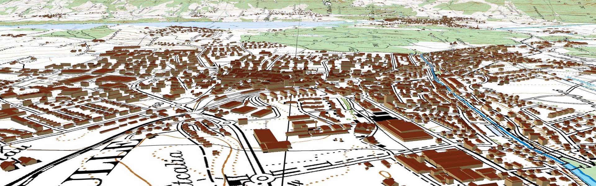
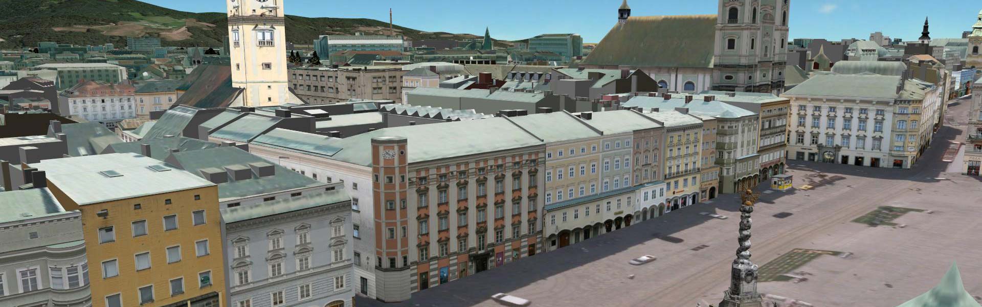
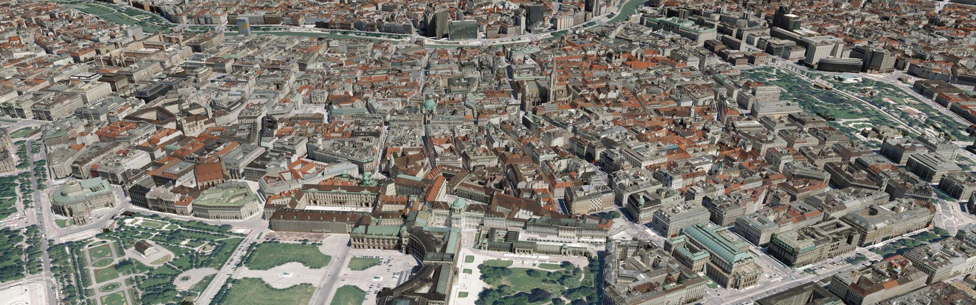
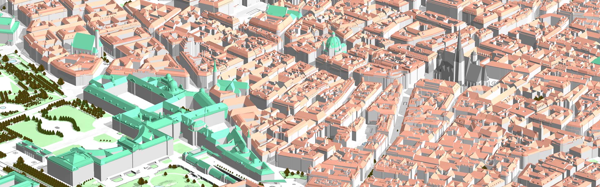
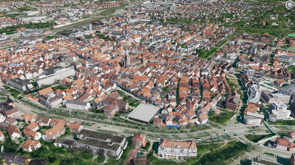
The city of Reutlingen needs an accurate 3D city model for the city map throughout the city.
As a starting point for the construction of this city model aerial photos from the year 2013 with 5cm ground resolution were available, as well as ALKIS ground plans of the buildings to be modeled. In order to ensure the accuracy requirement of + -10cm to the roof edge, the roof landscape was photogrammetrically evaluated and building models with facades were formed precisely above the ALKIS cadastre footprints. Each building is accessible via a unique ID, obtained from ALKIS. Roofs over several footprints were automatically split at the footprint boundaries.
With help of the CityGRID® software, the city model is autonomously managed and used by the office of urban development and surveying of the city of Reutlingen.
 Project Parameters Project Parameters
- Evaluation: Photogrammetric
- Detail: Main roof shapes and roof details in the core area
- Project start: 2015
- Number of buildings: 36.000
- Roof overhang: complete
- Cadastre-sharp: complete
|
|
")
")
")