
")
")
")
Wiener Linien
|
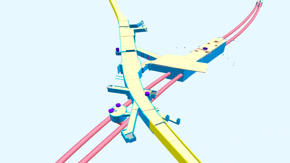
The Vienna public transport organisation ("Wiener Linien") is obliged to provide the data of subterranean structures of the underground to the central cadastre of pipework ("Zentraler Leitungskataster" - ZLK). UVM Systems has been commissioned with implementation since 2011. To ensure that this data processing is also beneficial to Wiener Linien itself, a 3D modeling of all underground structures from the available planning documents took place at the same time. There are now georeferenced 3D models representing the massive load-bearing components of all subterranean underground structures. These 3D models are kept up-to-date in line with various construction measures and will be available as 3D geo base data in the digital infrastructure database of Wiener Linien. For the use in the framework of the ZLK, 2D outlines can also be derived from the 3D models. Using the CityGRID® system, the underground models can be managed and used together with the 3D city model.
|
||
|
|
||
| top of page |