")
")
")
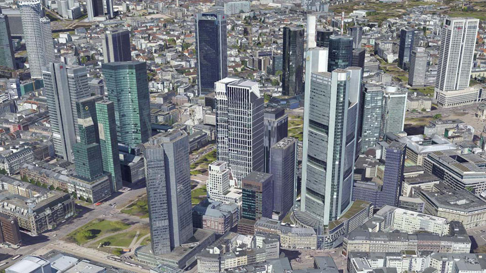
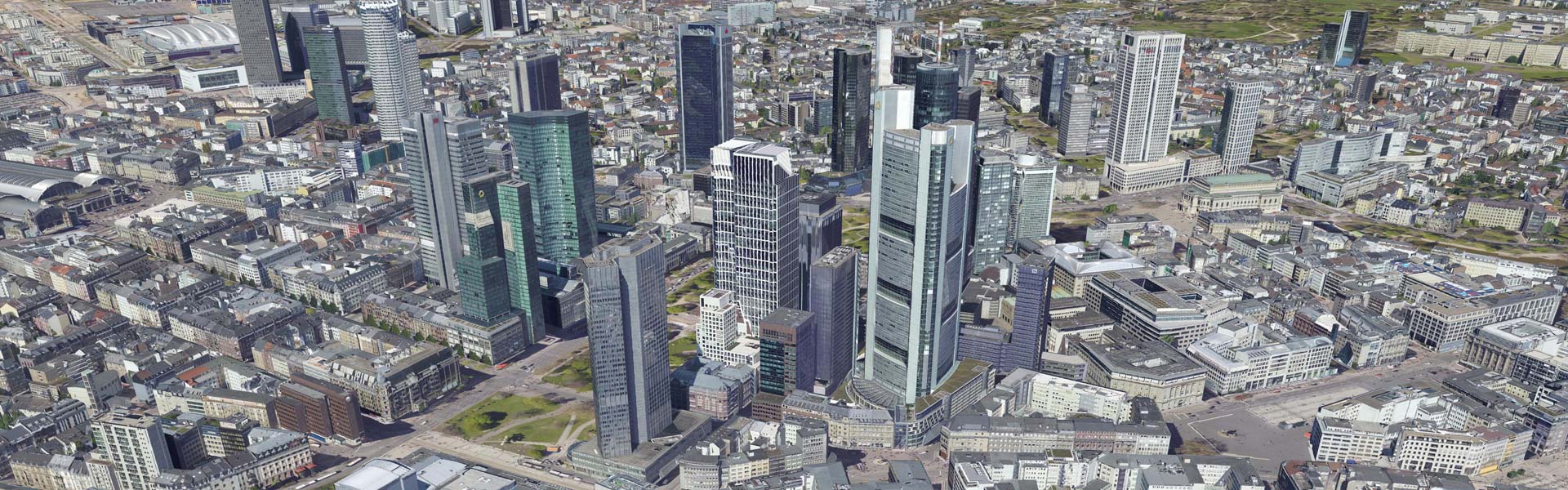
Frankfurt
|
The 3D city model of Frankfurt consists of building models, which were created by the company Virtual City Systems in 2015 on behalf of the city surveying office. Subsequently the city model data was automatically texturized with the aid of current oblique images and the CityGRID® software and delivered in the format CityGML 2.0. The textured city model Frankfurt is used for environmental protection, energy saving measures, land use planning, monument protection and tourism advertising.
|
||
|
|
||
| top of page |