| |
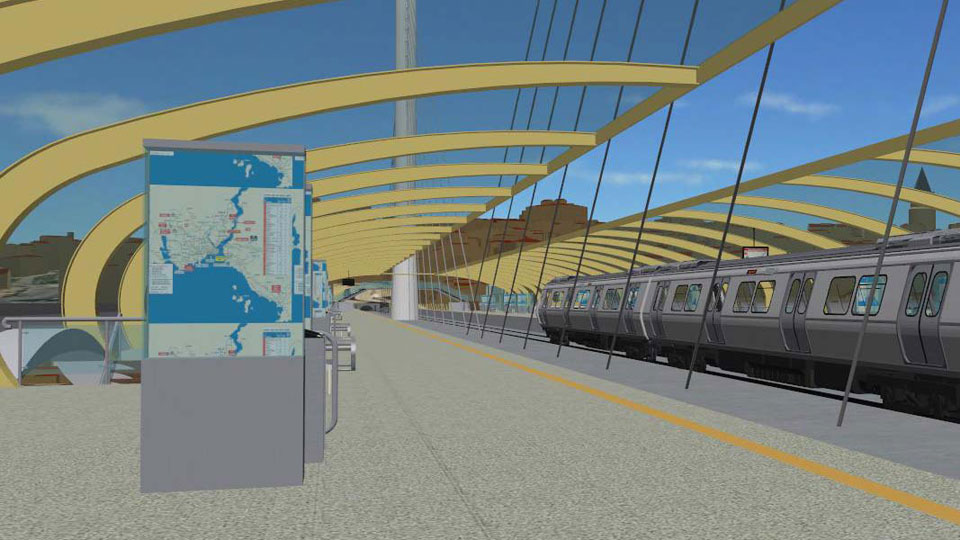
Between the Istanbul airport Atatürk and the district Basaksehir a 14km long monorail route with 16 stations is planned. The Department of geo-information of the city administration has commissioned UVM Systems with the visualisation of this project.
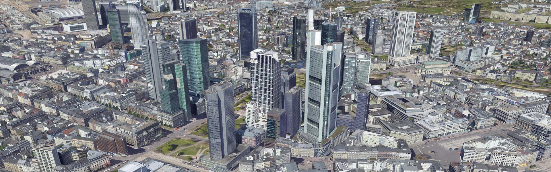
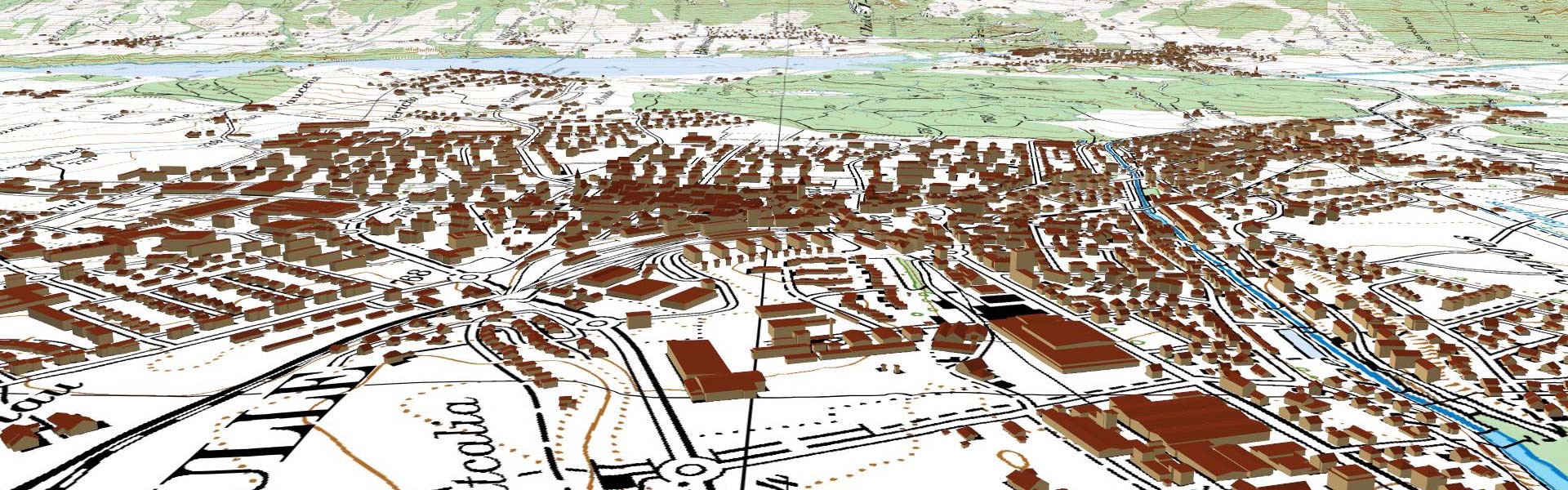
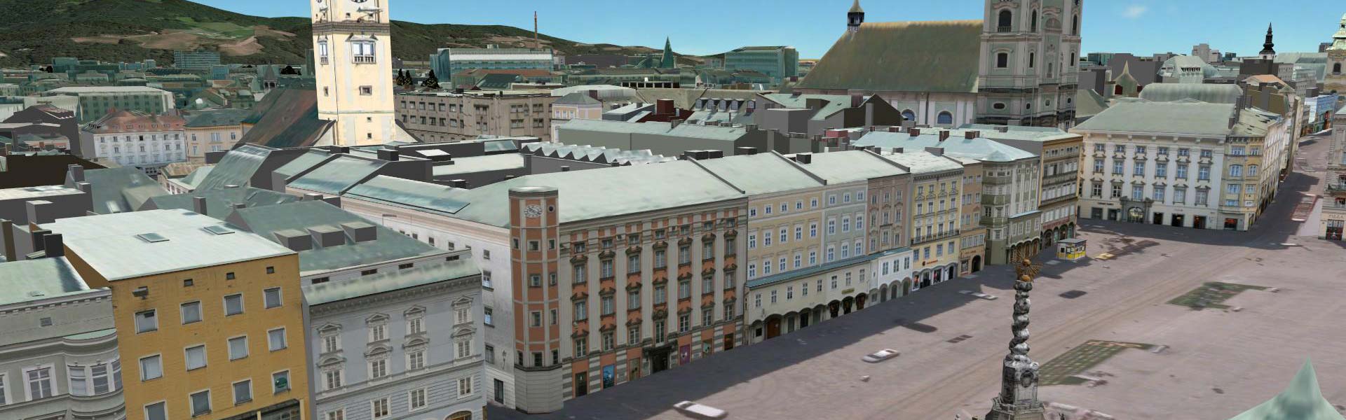
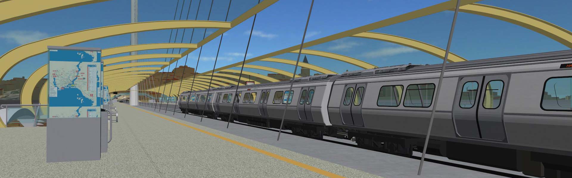
With the help of CityGRID®, the existing 3D city model was refined in the project area. Facades of buildings were enhanced by high-resolution textures and the urban space was supplemented by detailed modelling of trees, traffic signs, lanterns, etc. The course of the Monorail project has been modelled in detail and integrated into the visualisation. In addition, moving trains were presented in order to further increase realism.
The visualisation is used for the fine-tuning of the project planning. In addition, we have created video sequences from the visualisation, resulting in short information films, which are shown in the public transport of the city of Istanbul.
 project parameters project parameters
- Theme: Public transport
- Project area: 20 km²
- Implementation: 2016
|
|


")
")
")