| |
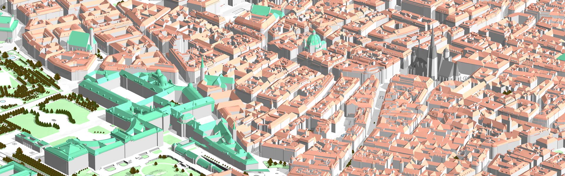
The 3D city model database and the CityGRID® Manager functionalities are controlled by the client CityGRID® Administrator. This module covers the basic administrative tasks of the 3D city model, as well as databsse optimisation and cleanup.
 Features: Features:
- Import / export of city and terrain models according to predefined areas or according to known building ID.
- Export in the formats CityGRID, CityGML, KMZ, DXF and VRML.
- Assignment of aerial images and orthophotos to the 3D city model.
- Management of city models in the 3D database (versions, model properties, attributes, address linking, etc.).
- Derive an elevation grid for visibility analyzes from the city model.
- Automatic tiling of the terrain model according to the orthophoto tiling.
- Control of the automatic intersection of overlapping building parts (automatic penetration resolution).
|
|


")
")
")
