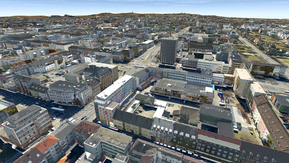
Select your language

Darmstadt


In 2012, the entire urban area of Darmstadt was documented by a Cyclomedia mobile mapping campaign. As a result, high-resolution panoramic images of the road area are available. These images were used for texturing the facades of buildings. Conventional aerial photographs were also available for the roof landscape and for the facades, which were not visible from the street. The combined texturing from panorama aerial imagery was realized in 2012 with the system CityGRID®. Subsequently, this textured model served as a model for the detailing of the city model. Concretely, it was possible to derive drive-throughs, arcades and superstructures from the facade textures. The fully textured city model is mainly used for municipal planning tasks.

Pinion Project parameters

  • Camera system: vehicle-supported Cyclomedia panoramic camera system
    logo Darmstadt
  • Date of recording: 2012
  • Image type: panorama imagery "Cycloramas" as well as nadir aerial images
  • Average facade resolution: 2cm 
  • Coverage (nadir)
  • Number of buildings: 50.000
  • Project area: 350km road length


Darmstadt

 
  top of page   
  • News and Events


    CityGRID® 2025 Release

    CityGRID® Version 2025, Build 19.10.098 (Hotfix), has been published!


    Download

    Change list

     
  • New Video

    From drone flight to finished building model - possible with CityGRID!


    Watch Video

    LinkedIn

     
  • 3D Forum Lindau 2025

    Visit our workshop "3D building modeling from drone images" at the 3D Forum Lindau 2025:


    3D Forum Lindau