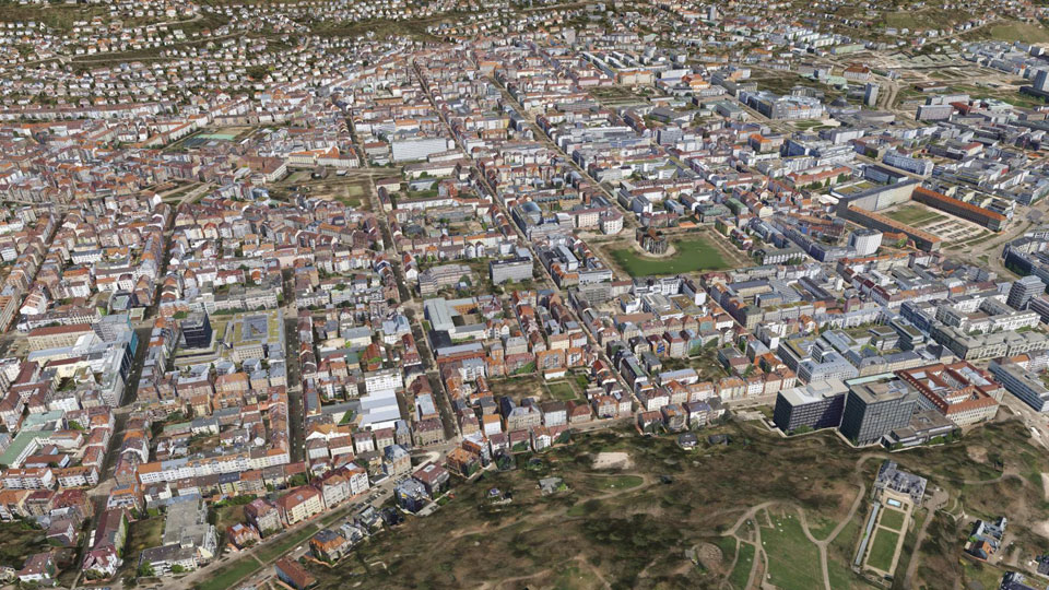
Select your language

Stuttgart


In the summer of 2014, Stuttgart was covered by an aerial image flight. These images should be subsequently used to texturize the existing 3D city model. In advance some deficiencies that were present in the 3D data structures, e.g. wrongly oriented faces in the building models, had to be corrected. UVM Systems carried out both tasks from November 2014 to January 2015 with the CityGRID® system. Due to the complete texturing, the 3D city model provides a much more intuitive photo-realistic impression now. The city model Stuttgart is available for city administration, business and citizens and is kept up to date.

Pinion Project parameters

  • Camera system: IGI Digicam Quattro
    logo Stuttgart
  • Date of recording: 2014
  • Image type: oblique images
  • Average ground resolution: 14cm
  • Coverage (nadir): 60% longitudinal / 60% transverse
  • Number of buildings: 50.000
  • Project area: 200km²


Stuttgart

 
  top of page 
 
  • News and Events


    CityGRID® 2025 Release

    CityGRID® Version 2025, Build 19.10.098 (Hotfix), has been published!


    Download

    Change list

     
  • New Video

    From drone flight to finished building model - possible with CityGRID!


    Watch Video

    LinkedIn

     
  • 3D Forum Lindau 2025

    Visit our workshop "3D building modeling from drone images" at the 3D Forum Lindau 2025:


    3D Forum Lindau